Monday, August 15, 2016

Day 46 -- Snaefell and Laxey

I awoke to a blue sky in Douglas, with not even a cloud in sight, and a perfect day to travel to the highest point on the Isle of Man – Snaefell, a “mountain” topping out at 2,036 feet. As I did yesterday, I took the Electric Railway to Laxey, but this time rather than continue on to Ramsey, I changed cars at the Laxey station to the one that goes to Snaefell. On the ride from Douglas to Laxey, I asked the conductor about the train system. According to him, the tracks were laid in 1893, solely for the tourist trade, although now used by locals for short trips. All of the cars presently in use date from 1893 or 1895, except for the newest which went into service in 1918.

Many people had the same idea that I did, to wit: go to Snaefell in good weather. As a result, the one-car tram to Snaefell couldn’t accommodate everyone who arrived from Douglas. I wasn’t in any hurry, so deferred to the next tram. My decision was based in no small part on the conductor’s report that the summit was in cloud, but expected to clear.


That gave me an extra 30 minutes at the Laxey train station which I used to explore another historic site, the Laxey Water Wheels. Laxey is a former mining town, and large water wheels powered by a flowing creek were used to pump water from the mines. The current wheels have been nicely refurbished to demonstrate their historic function.


The ride up to Snaefell was in sunshine, but upon disembarking we were hit by 40 mph cold winds and blowing clouds. There was no view. Most passengers headed immediately for the shelter of the restaurant and ordered warm drinks. I braved the short walk to the summit to get a picture of my hiking poles at the trig point. It was too windy for me to bother removing them from the pack, so I placed my pack at the trig point, with no little trepidation that it might blow off the mountain.

View from summit

An old Spitfire sits near the summit. One could create a romantic story about the pilot heroically landing there during a storm, but in reality it was donated to the people of the area, who brought it up by the railway.


Everybody took the next trolley down, except for those still nursing their coffees. Within twenty minutes we reached the Laxey station where warm, sunny weather induced most passengers to have an ice cream and induced me 
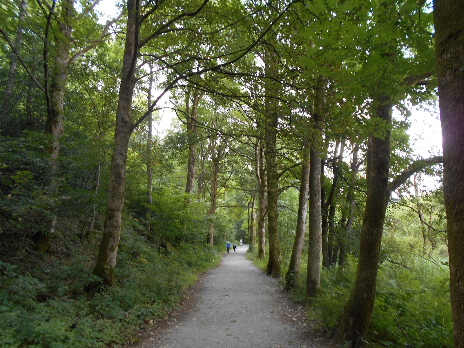
to walk to through Laxey to the seashore. Except for a short interval on the summit of Snaefell, the day was as lovely as I had anticipated it would be. 

Shoreline at Laxey

Sunday, August 14, 2016

Day 45 -- Exploring Man

Yesterday on the ferry I read an article about a journalist who was heavily criticized because she labeled Isle of Man a “tax haven.” Apparently, the Manx (that’s what residents of this island call themselves) believe they are paying their fair share of taxes, and if they choose to set up a system that has no capital gains tax, no inheritance tax, and a top income tax rate of 20%, that’s nobody’s business but their own – and labeling their island as a tax haven unfairly suggests that there is something inherently corrupt about a government that doesn’t bleed its citizens dry. They are probably correct, so the last thing I’m going to do is label Isle of Man a tax haven.

But I will label it a fantasy world that no longer exists anywhere else – except in theme parks like Disneyland. Of course, the Isle of Man is not a fantasy world for its residents who go to work every day, struggle to make ends meet, and face real world challenges like the rest of us. But it is a fantasy for us tourists, where, for a brief time, we can immerse ourselves into a lifestyle that no longer exists anywhere else – if it ever did.

The first thing that caught my eye was the Douglas Bay Horse Tramway – trolleys drawn by draft horses along rails up and down the middle of the main promenade. They operate according to a published timetable, and last week celebrated their 140th anniversary. (I’ll concede that San Francisco operates nostalgic cable cars, but horses??)


I couldn’t resist taking a ride on the horse drawn tramway to the end of the line – and what do you suppose I found there? The terminal for the Manx Electric Railway. This is an electric trolley, powered through overhead cables, that runs 17½ miles between Douglas and Ramsey, an hour and a quarter ride – and it runs according to a published timetable!  At this time of year, it makes fifteen round-trips a day, leaving every hour or half-hour depending upon time of day (there are several trolleys). This isn’t just a tourist ride; it is public transportation.


At the other end of Douglas is the Isle of Man Steam Railway that runs 15½ miles to Port Erin, at the southwest corner of the island – once again, according to published timetables and with several engines. The carriages are nicely maintained and refurbished – like you would find at Disneyland, not on a typical public conveyance – but it, too, is public transportation.


I shared the carriage to Port Erin with a couple living on Man and their friend visiting from England.

Mike, Barbara and Brian

Among other things, we discussed life on the island – a few days ago, they had gone to a local agricultural show where farmers showed their sheep and cattle. (Sorry, Iain and Shayne, they didn’t mention alpacas.) Mike showed me some pictures of Loaghtan Sheep – 4-horned sheep that appear to have come straight from a Dr. Seuss sketch.

                                                     Image courtesy of Michael Cook

Perhaps I’m jumping to conclusions about a fantasy world. After all, I’ve been here only one day. I’ll update my report if I find anything more about this subject during the time I’m here. But one thing’s for sure: I’m not going to the library to research the tax structure, because affixing some labels is taboo.


Saturday, August 13, 2016

Day 44 -- Ulverston to Isle of Man

Today was a travel day – but not exactly restful – 1½ hours on the train and 4+ hours on the Isle of Man ferry. I knew the ferry would be crowded on a Saturday, so I spent an extra $24 and upgraded to the premium lounge. I’m glad I did. Virtually every seat in the general lounge was taken, mostly by families with kids shouting, crying, running around, etc. Children are not permitted in the premium lounge.

The premium lounge was only about 1/3 filled, and most of the travelers were either small groups or business people working on their computers. It was extremely quiet – even the TVs were turned down. I watched the Olympics without sound from commentators, which I thought improved the coverage.

The sea was flat. The ferry passed by several wind farms, with dozens of windmills planted in the sea, as well as a few oil and gas platforms. Fortunately, the captain was not watching the Olympics. He announced that the ferry traveled at 18 knots, which seemed about the speed the 8-oar crew teams rowed.

The Isle of Man is located in the Irish Sea, approximately equidistant from Scotland, England, and Ireland. The island, itself, is about 33 miles long and about 13 miles wide. Its highest peak has an elevation of just over 2,000 feet.

There are several main hiking routes on the island, all of which appear to be accessible from a comprehensive public transportation system. Once I get the transportation figured out, I’ll start planning some walks. It does seem strange to think about spending yet more time on transports.

Friday, August 12, 2016

Day 43 -- Coniston to Ulverston


Britain is famous for its microclimates. A 35-minute bus ride brought me from the drizzling fog of Coniston and into the sunshine of Ulverston, a distance of only about 15 miles. I checked into my B&B and retrieved the package I had mailed to myself at the B&B 10 days ago – 8½ pounds that I didn’t carry on my back for the past 10 days.

Ulverston is a market town whose apparent main claim to fame is as the birthplace of Stan Laurel. There is a Laurel and Hardy Museum that runs their films continuously. A local flower shop is named Floral and Hardy.
 
Laurel and Hardy statue in front of Town Hall


Florist Shop

For me, arrival at Ulverston marks the end of the fourth leg of this summer’s walk. Tomorrow I head to Isle of Man, a self-governing British Crown dependency in the Irish Sea. I'm not exactly sure what that means, but it may have something to do with having its own microclimate.
 

Thursday, August 11, 2016

Day 42 -- Coniston Rest Day

I awoke to a light rain, which alternated between drizzly fog and sprinkles the entire morning. With the neighborhood fells totally enveloped in clouds, there was little reason to ascend them today. I telephoned Lee Wilson, the guide I had retained to take me into the fells today, and cancelled our hike. Lee lives in Shap, and remarked that the fells around Shap were also blanketed with clouds.

My plan to bag the remaining 204 (or thereabouts) Wainwrights by tomorrow thus thwarted by the weather, I looked for other ways to use the day. I started with the leisurely breakfast that I had denied myself yesterday. Then I contemplated taking a bus to a point five miles south of Coniston and walking back alongside the lake, but when I noticed wind gusts blowing the rain sideways outside the breakfast room, I rejected that idea. I instead used the morning productively to update my blog postings. The hotel’s wifi has sufficient bandwidth when there is only one user, and since I was the only one in the bar (which had not yet opened), I completed the postings with reasonable efficiency.

By noon, the satellite images showed most of the Lake District clear of rain and cloud, except for that which hung over Coniston. Interestingly enough, the satellite images showed the Isle of Man as clear the entire day. Perhaps Man is too small and too low to create its own weather. I hope so, because I’ll be there on Saturday.
I suppose after six weeks of walking, I deserve a rest day.


Wednesday, August 10, 2016

Day 41 -- Dungeon Ghyll to Coniston, 11 miles


A lovely morning greeted me at Dungeon Ghyll – so lovely, indeed, that several people were having breakfast outside. As delightful as the morning was, it wasn’t a southern Utah morning, so I opted to eat indoors. Still, I faced a quandary: do I enjoy a leisurely breakfast or get outside and start walking on such a perfect morning. Walking won.


As I joined the Cumbria Way, sunshine reflected off the high peaks to my left – peaks on which I had been walking three weeks ago with guide Ian Carter, when we looked down upon Dungeon Ghyll from the ridge near Stickle Tarn. The Cumbria Way follows Langdale Beck to the pretty village of Elterwater, where the path assumes a park-like setting with manicured trees, benches, families, dog walkers and picnickers (even though it was still morning).


Beyond Elterwater, the path became less populated and resumed the typical footpath characteristic – a narrow path with only a few serious walkers. Surprisingly, two of those walkers were Etty and Mieke, from the Netherlands, whom I had met at the B&B in Caldbeck, so many days ago. They’ve been walking in the Lake District since I first met them, and just happened to be on the same footpath as I was today. Tomorrow they return home.


The lovely day grew progressively overcast, until light sprinkles started to fall – enough for me to put the waterproof cover on my backpaci, but still walk in my T-shirt. As I walked through Coniston to my hotel, the sprinkles were growing heavier, and by the time I had checked into my room and decided to run a few errands, a steady rainfall had commenced. I would have been caught in it had I not foregone the leisurely breakfast.
Tarn Hows

First view of Coniston Water

Tuesday, August 9, 2016

Day 40 -- Buttermere to Dungeon Ghyll (Langdale), 8 miles


When I checked out of the hotel today, the clerk processed my credit card to pay in US dollars rather than in pounds. Hotels sometimes attempt that because they charge an exchange rate of about 5% higher than the official rate, in this case charging about $8 more. I’ve had hotels try to do that in the cities, but never in rural areas. When I objected, the clerk said that the charge already went through and he couldn’t undo it. When I told him to issue a refund, he said that he would have to issue the refund in Great Britain pounds, and there would be another conversion fee. “That’s OK,” I replied, “as long as I don’t get charged the fee.”

“But then the hotel will have to pay the fee,” he replied.

I shrugged my shoulders with indifference. “No problem, I’ll just call my bank and have the unauthorized charge reversed.”

In the end, the clerk issued a refund of about £6 pounds more than he had originally charged me and converted the refund to the same amount of dollars he had erroneously charged. Then he processed the bill correctly in pounds. I expect the transaction cost the hotel about $10 in fees, so maybe they’ll be more circumspect with other guests.

The start of the route from Buttermere to Dungeon Ghyll repeats much of what I walked yesterday, so in the interest of time (not to mention energy), I took a bus to Stonethwaite, where I joined the Cumbria Way. From Stonethwaite, the Cumbria Way coincides with a portion of the Coast to Coast that I walked 17 years ago, but I didn’t remember any of it. After about a mile, the two paths diverge, the Coast to Coast heading to Grasmere (where I picked it up several weeks ago) and the Cumbria Way following the course of Langstrath Beck.

Footbridge leading to Stake Pass
 

The Cumbria Way then climbs steeply up a seemingly never-ending series of switchbacks to Stake Pass, levels in the saddle, and then drops steeply into Langdale, another picturesque glacial valley. A long walk through Langdale brought me to the “New” Dungeon Ghyll Hotel, located about a mile farther along the Cumbria Way than is the Old Dungeoin Ghyll Hotel. I don’t know when the old hotel was built, but the new one was built in 1862. That was back when guests paid in cash rather than with credit cards.

Switchbacks up Stake Pass

Top of Stake Pass

Descending to Langdale

New Dungeon Ghyll Hotel