Tuesday, July 26, 2016

Day 26 -- Saltburn to Guisborough, by bus; Roseberry Topping, 9 miles.

Once again, my phone guided me on the bus to Guisborough. All of the buses here seem to have Wi-fi. I don’t know if that’s the standard everywhere, but I realized today why it’s a good idea – perhaps the reason the local buses have it.

In the past, groups of teenagers on buses tended to be rowdy and obnoxious. Some even brought boom boxes aboard and played their music loudly. Now with Wi-fi on the buses, they sit quietly and text their friends. They listen to their music through ear-buds attached to their phones, and disturb nobody. If you sit at the back of a bus loaded with teenagers, you’ll see their heads bobbing up and down and side to side in rhythm to their music, as if the bus were filled with so many bobble-head dolls. It’s comical, really. So if the buses in your town don’t have Wi-fi, start a petition. The drivers and other passengers will appreciate it.

After dropping my bag at the hotel, I set off to climb Roseberry Topping. You may recall that is the imposing, shark-fin shaped hill near Guisborough, visible from the Coast to Coast footpath. I had planned to climb it tomorrow, but with good weather, I decided to attempt it today. In the back of my mind, I had anticipated a serious climb, like that of Yosemite’s Half Dome or Zion’s Angels’ Landing. Instead, I found an ascent suited to its name.


Picture a cross between my hometown’s Shinob Kibe and Boston’s Bunker Hill, only without British troops firing at you. Picture yourself walking uphill while licking the roseberry topping off an ice cream cone, while your head is bobbling to the rhythm of Tiptoe through the Tulips. That’s how serious the climb was. Now to be fair, there were some precipitous edges, and there were plenty of 4- and 5-year olds who caused mothers some concern as they skipped close to the edges, but it wasn’t as if anybody had to be roped up.


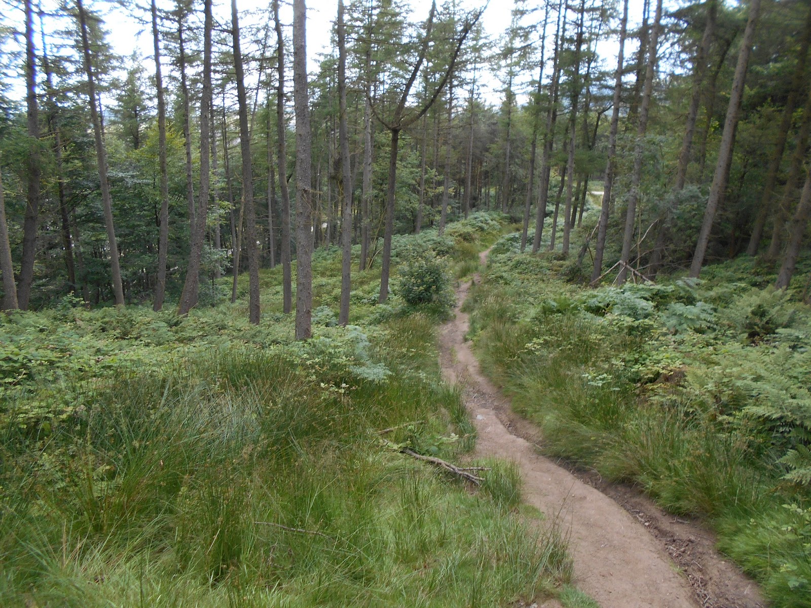
Still, the view from the top was outstanding, with the North Sea on one horizon and high moorland ridges on the other, patchwork quilt farms below and big cities in the middle distance. With a little route-finding, I returned to my hotel in Guisborough via the Cleveland Way, over moorlands, past farm fields and through dense woodlands, concluding a very nice day.


Guisborough

Oddly enough, my hotel didn’t have the Wi-fi as advertised, so this posting is several days late. Maybe I should have taken an over-night bus instead.

Monday, July 25, 2016

Day 25 -- Staithes to Saltburn, by bus; Saltburn to Skinningrove, 4 miles

I love my smartphone. Today I discovered a feature that makes traveling away from home much easier. First off, I’ve got to tell you that I’ve already used the features that allow me to make a call here in England by merely entering the phone number. No country code, no hassle, no setting up a special service with my provider. Just pick up the phone and make the call. I’ve been calling friends, making dinner reservations, calling hotels, etc., just like I would do at home. The cost is 20 cents U.S. per minute – less than the cost was when I used to buy a local SIM card.

But here’s what I discovered today. I boarded a bus to Saltburn. The bus was crowded and making many stops in places I’ve never been. I wasn’t sure which stop was closest to my hotel or when the bus would arrive there. The bus had W-fi, so I turned on my phone, and told it where I wanted to go. It immediately opened the GPS map, showing the bus moving along the roadways until it approached my stop. I pressed the bus’s “Stop” button so the driver knew I wanted to get off, but I suspect that the phone may have done it for me. Now I no longer have to anxiously watch for street signs to give me a clue where to get off the bus. Isn’t that great?


Following the route
 
Yeah, I know that 80% of my readers already knew smartphones do that, so what’s the big deal? But, hey, 80% of my readers are also walkers who’ve seen places just like I’m photographing, so what’s the big deal? I’m writing a lot of these posts for the two readers who haven’t got a clue about either smartphones or walking in England. You know who you are.
 
After my phone got me to Saltburn, I dropped my bags at the hotel, and set off exploring so I can share the scenery with those who’ve never seen such places. Saltburn (officially, Saltburn-by-the-Sea) is a major tourist destination. With its large sandy beach, fast food, beach-toy shops and buzzing arcade, it is Coney Island on a much smaller scale – but a British Coney Island with people standing in arrow-straight queues waiting to purchase cotton candy or to enter the lift to the upper town.


Town pier


Pier-railing cozies


Turning my back to the populated beach, I climbed to the top of the bluff to follow the Cleveland Way to the village of Skinningrove, 4 miles away. The bluffs were not so populated as the beach – Coney Islanders don’t walk.


Artwork on bluff


When I arrived at Skinningrove, I checked my smartphone for information on the bus back to Saltburn. It showed me the way to the bus stop, how long it would take me to walk there, which bus I should take, and what time the bus would arrive at the bus stop. It couldn’t have been easier.

Artwork at Skinningrove
 

I’m back at the hotel now. I won’t ask my phone for directions to the pub because I’ve got a natural sense of direction about some things.

Sunday, July 24, 2016

Day 24 -- Whitby to Staithes, by bus; Staithes to Runswick Bay and Return, 8 miles

Fridays walk from Robin Hood’s Bay with a heavy pack convinced me that I can’t carry that weight between towns – at least, not if the walk is to be enjoyed. This morning I took a bus to Staithes, checked in at my hotel, dropped most of the weight, and started walking on the Cleveland Way back to Whitby. On a beautiful Sunday, there were dozens and dozens of people walking on the trail, each one desperately looking for somebody to talk with. I was that somebody, and as a result of speaking with everyone on the trail, I barely made it to Runswick Bay. So, what was intended to be a 12 mile walk to Whitby and a return by bus, became a 4 mile walk to Runswick Bay, and a return by foot on the same route. As always, I met all sorts of interesting people – too many, in fact, for me to comment on or post their pictures.

Staithes is an old fishing village nestled at the base of neighboring bluffs. Its main street is called, oddly enough, High Street, although there is nothing high about the village. Narrow passageways predominate. There are a few shops catering to tourists, but not many tourists can crowd into the picturesque village. I was one of the lucky ones.


The route to Runswick Bay required a steep climb to the top of the bluffs, which the Cleveland Way skirts between farmfields and precipitous cliffs. The scenery is lovely on a fine day.


Runswick Bay is much the same as Staithes, except that it has a long, wide beach during low tide. The beach pretty much disappears at high tide, and warning signs and tide tables abound. Someone walking along the mile-long beach could easily get caught between the cliffs and the incoming tide. I didn’t go any farther than the pub.


Runswick Bay also has a very upscale residential area, well-maintained and inviting.


Saturday, July 23, 2016

Day 23 -- Whitby to Pickering to Whitby, by Train


The North York Moors Railway is a “heritage” railway, meaning that it transports contemporary passengers on outdated trains to outdated stations for exorbitant fares. Although trains and stations have been refurbished, they typically don’t meet current standards for disabilities or comfort. Most of the “employees” are volunteers – many probably doing the same jobs they did while employed. The heritage railways are for fanatics, which may include me because I enjoy riding on them.

The ride from Whitby to Pickering is only 18 miles, but takes about 1½ hours. The tracks generally follow the Esk River valley, providing the same scenery you would enjoy if you walked it. Many people hop on and off the train and walk parts of it. I didn’t hop off, but I did nod off from time to time, if that counts.


I timed my trips to take an historic diesel engine to Pickering, and return to Whitby on an historic steam engine. Once aboard, you don’t really see the engine except on tight curves, and then only if you are in the last carriage, too far to get a picture. You could hear the difference, though; at each stop the roar of the diesel engine grew louder when accelerating, while the tempo of the steam engine’s chugging increased, but not its decibels.


Due to my schedule, I had less than an hour in Pickering, which was more than enough. I’m still not mentioning the U.S. election campaign, but I thought it interesting that these two establishments were right down the street from each other. Maybe our cultures are closer than I thought.


To round out my tourist day, I took a hop-on, hop-off bus tour of Whitby. I did the entire tour without hopping off, because I knew I wouldn’t hop back on once I got off. The good thing about the tour is that it was on a modern bus, so the fare was low. It was worth every tuppence I paid.


Friday, July 22, 2016

Day 22 -- Robin Hood's Bay to Whitby, 6 miles

A short walk along the bluffs above the North Sea is a delightful way to spend the day. It was diminished only by the weight of my pack, 10 or 12 pounds more than I’ve been carrying because there is no baggage transfer service for the remainder of the walk.

The views were outstanding. The day was only slightly warm, made agreeable by a pleasant sea breeze. Rain the past week has brought wildflowers to full bloom.

I met many day walkers – far too many to photograph or report on. All were headed in the opposite direction. If any walkers had been headed in my direction, they would have easily passed me, given the weight of my pack.

Since a picture is worth a thousand words, I’ll stop writing and share the scenery.

Robin Hood's Bay from north

Looking north on Cleveland Way

Looking North


Former Lighthouse at Whitby Bay (now a holiday rental)

Hundreds of nesting sea gulls (enlarge for better view)

Whitby Abbey

The Cleveland Way

My arrival at Robin Hood’s Bay concluded the second leg of this summer’s walk. The third leg will be along the Cleveland Way. The Cleveland Way is a national trail in northern England, running 110 miles. It starts inland, at Helmsley (near Ilkley, where I started the Dales Way), then runs along the north edge of the North York Moors National Park until reaching the coast at Saltburn. It then runs south along the coast, through Robin Hood’s Bay and terminates near Scarborough. For part of its course, it merges with the Coast to Coast.
 
We first met the Cleveland Way at Osmotherley while I walked the Coast to Coast.  I left it when I dropped down off the moor to head to Great Broughton, and then rejoined it for a short time at Clay Bank Top as I headed towards Blakey Ridge (Lion Inn). The Cleveland Way turned north before Blakey Ridge, while the Coast to Coast continued east. I pick up the Cleveland Way again at Robin Hood’s Bay, and follow it north along the bluffs above the North Sea.

The Cleveland Way continues to run along the coast through Whitby, Staithes, and Saltburn, then turns inland to Guisbrough. I’ll be walking approximately 35 miles on the Cleveland Way between Robin Hood’s Bay and Guisbrough.

Thursday, July 21, 2016

Day 21 -- Grosmont to Robin Hood's Bay, 15 miles

Grosmont is the home of the North York Moors steam railway, so there is a lot of railroad memorabilia around here, including what is thought to be the first railway tunnel in the world. How many opportunities does one get to walk through the world’s oldest railway tunnel? Life just doesn’t get any better than this.


A long, steep climb out of Grosmont leads to the top of Sleights Moor, providing sweeping views of the North Sea. Far to the horizon, near Middlesbrough, is a distinctive hill shaped like a shark fin, with the unlikely name of Roseberry Topping. I’ll try to climb it next week. But today, on the moorland all around me, the heather is starting to bloom. I suppose that Trevor Swales is moving his bees up to the moor about now.


While I moseyed along at my typical daydream pace, Andrew caught up with me, and we walked together most of the day. Near Littlebeck in 1790, George Chubb hollowed out a large sandstone boulder. He even carved a bench along the interior perimeter. It’s not clear if he actually made the rock his home, but it isn’t hard to imagine what his wife may have thought of his little project. He probably would have been better off to have walked the oldest railway tunnel.

 
Andrew at the Hermitage

The traditional Coast to Coast route approaches Robin Hood’s Bay from the northeast by a four-mile loop along scenic bluffs above the sea. Because I’ll be walking those bluffs tomorrow to Whitby, I took a more direct path through the Greystone Hills. My path was well-marked on the map, but not on the ground. After several frustrating attempts to find the proper route, I finally rejoined the Coast to Coast path Andrew was following, but he was long past by then. I did meet Robin (not the same Robin previously referred to in my postings) at the junction and he and I followed the Coast to Coast track until I found another way to achieve the route I had been seeking.  I may have saved a mile of walking, but probably didn’t save any time.

Path disappears

Robin No. 2

Robin Hood’s Bay is an old fishing village that has a reputation for harboring smugglers who moved their untaxed goods through a maze of narrow alleys. Today it is a tourist town, harboring walkers who can’t navigate the passageways any better than I can navigate the moors.


Later, while trying to navigate to the bar, I stumbled into the dining room where I met the Ullswater Steamer group who had successfully completed their Coast to Coast walk.

 
Dennis, Lynne, Lost-a-lot, Sara and Dave 

Andrew, Paul, Robin 1, Normand, Marie-Helene and I filled the evening with funny stories over dinner. When I completed my first Coast to Coast walk (actually my only Coast to Coast walk, since I joined this one at Grasmere) there was nobody with whom to celebrate. Andrew had the same experience when completing his first Coast to Coast two years ago. An end-of-the-walk party is a much more fitting conclusion, even for those who may not have walked through the oldest railway tunnel.

Paul, Normand, Marie-Helene, Lost-a-lot, Andrew and Robin No. 1